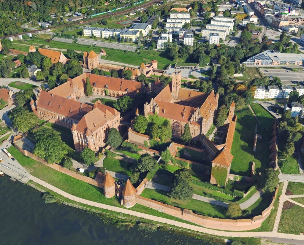
3D mesh models are three-dimensional visualizations of objects covered with image textures from oblique aerial photographs. The model is created by applying algorithms for automatically matching common points on all photos—both oblique and vertical—using data from laser scanning.
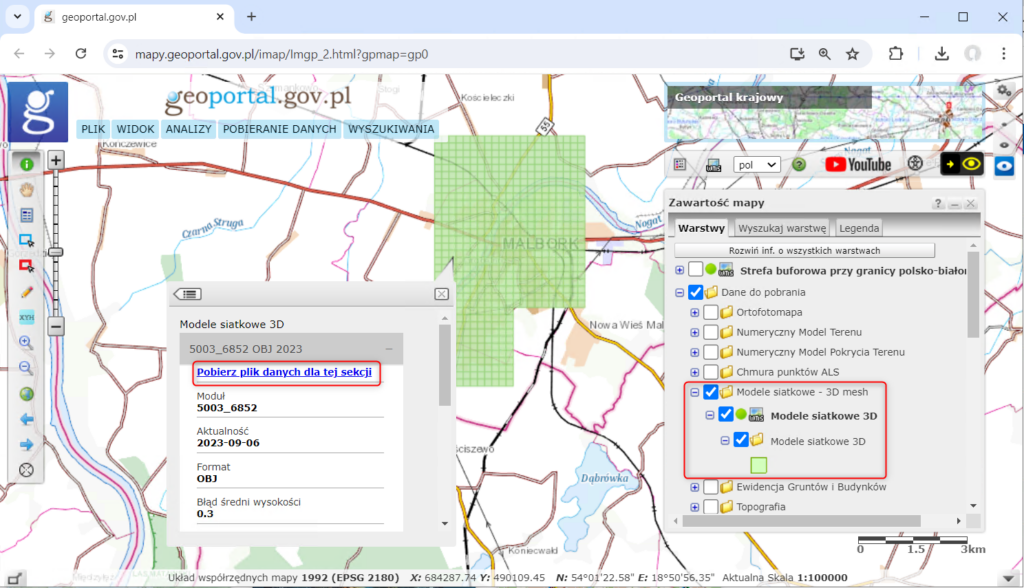
3D mesh models can be downloaded for free using the indexes available on the website www.geoportal.gov.pl in the “Data to download” layer group:
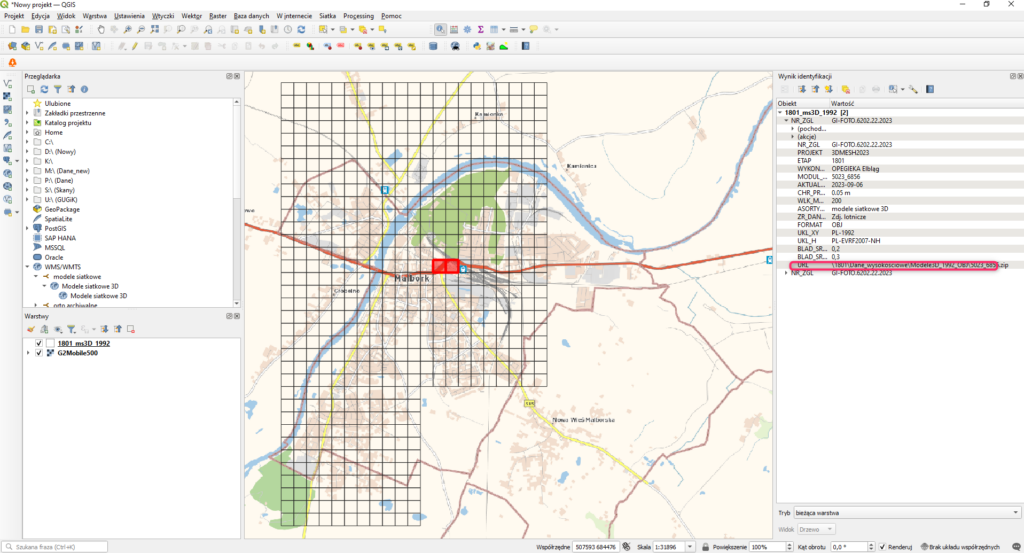
An alternative method for downloading data is to connect to the WMS service available at: https://mapy.geoportal.gov.pl/wss/service/PZGIK/NMT/WMS/ModeleSiatkowe3D using free software such as QGIS.